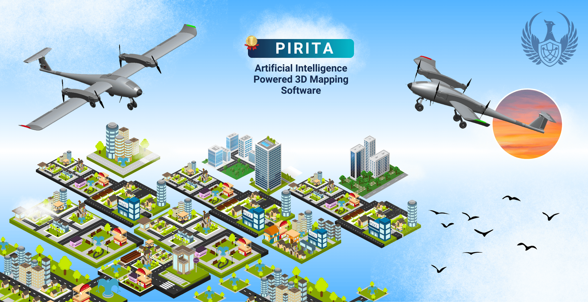
Pirita, AI-Supported 3D Mapping
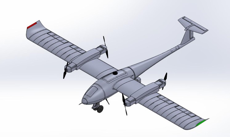
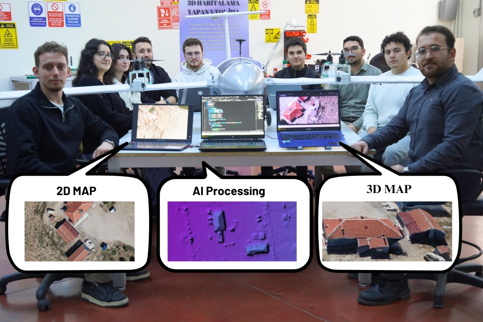
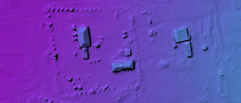
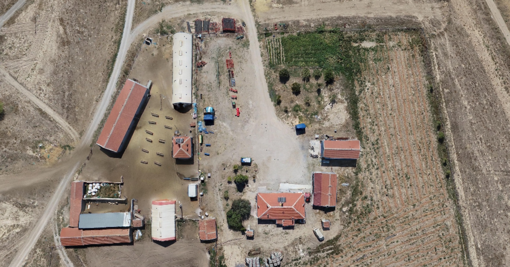
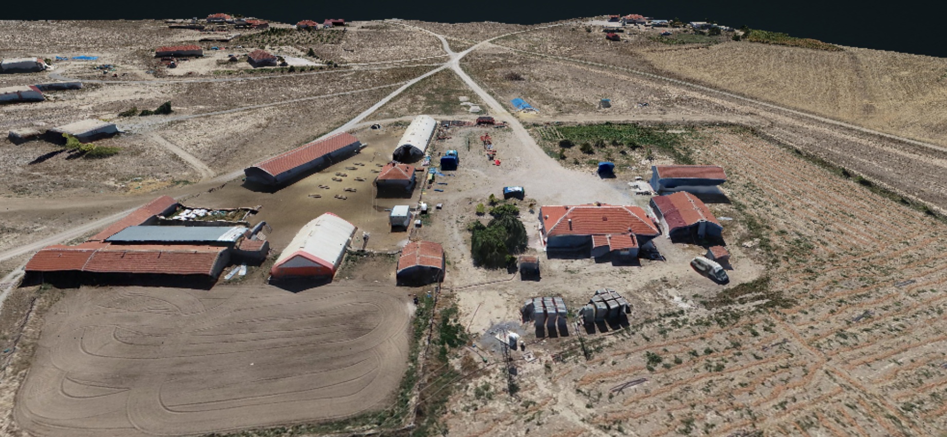
PIRITA is an innovative project developed with a domestic and national technological approach in the field of AI-supported 3D mapping. Instead of using Lidar sensors, machine learning and image processing techniques are employed, combining high accuracy with low cost. The mapping process is performed using a vertical take-off and landing (VTOL) unmanned aerial vehicle (UAV), which switches to airplane mode during flight, enabling high-speed operations over long distances.
The project was awarded a gold medal at the ISIF24 Patent Competition held within TEKNOFEST in Adana, recognized as a significant achievement that represents Turkey’s technological production capacity at an international level.
Among its contributions to educational institutions, PIRITA introduces students to AI and 3D mapping technologies, providing knowledge in fields such as machine learning and image processing. Additionally, the project fosters innovative thinking skills, strengthens awareness of technological independence, and motivates students to create original projects. Offering a low-cost alternative to Lidar sensors supports school budgets and enables the development of sustainable projects.
In conclusion, PIRITA is not only a mapping solution but also a platform for nurturing the technological leaders of the future. The gold medal achieved at the ISIF24 competition within TEKNOFEST highlights the project's innovative nature and contributions to education and technology. This project strategically contributes to Turkey’s technological advancement and equips students with competencies to compete internationally.
VTOL Drone Technology
Artificial Intelligence
Unmanned Aerial Vehicle
3D Mapping
Machine Learning
Image Processing